The Castle Hill Basin is made up of nine areas as described below. There are three different land owners / access arrangements - please read about each area before you visit.
Part of the Conservation Area - Castle Hill (s.25 - Stewardship Area) but there is no negotiated right of way at present.
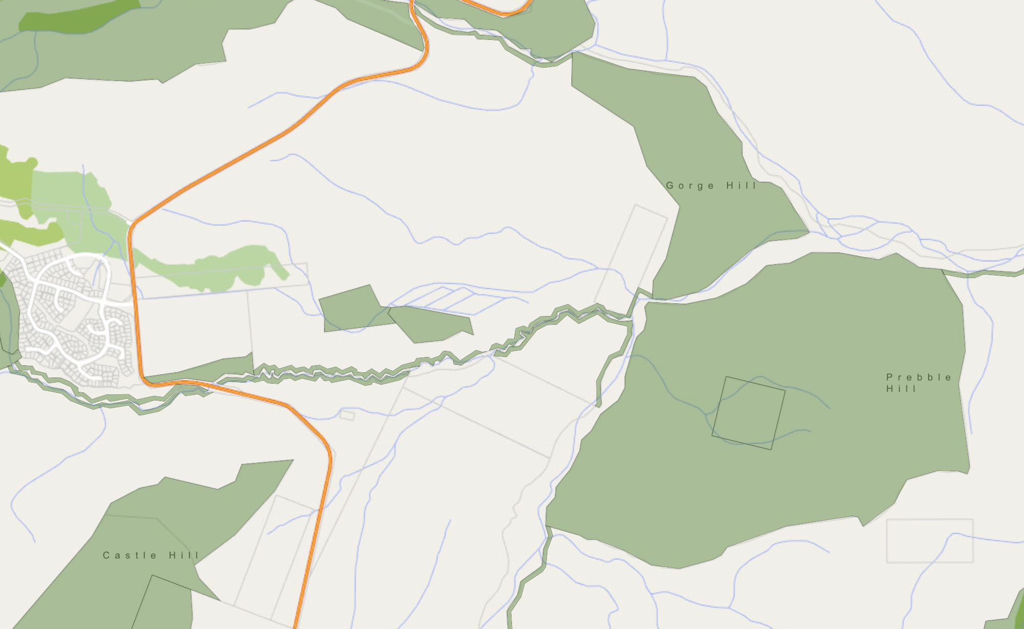
Prebble Hill (aka “Teapot” - check out the view from CH Village if you don’t get that reference..) has had little exploration to date and is the ‘land of the projects’. Stunning compression problems, awe-inspiring mountain views, and seemingly-infinite lines to clean make Teapot a premier destination (if you were allowed to get there...)
Check https://www.doc.govt.nz/map/index.html for the location of recent marginal strips which show a access route along the Thomas river or through Gorge Hill.